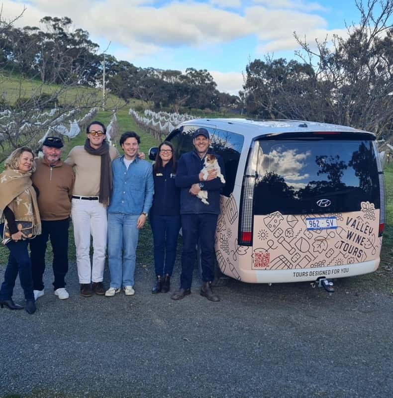
Clare Valley Scenic Wine Tour with Local Stories
Six hours with the local guide, collected in one of seven valley towns, five guests at most, with the tastings and a winery lunch paid.
From $174 per person
Check AvailabilityBetween the tastings, you can ride a railway line, walk to a waterfall and borrow a key to a whole town. Weighing up Clare Valley guided tours? Here is what fills the rest of your time in the valley.
The trail is the valley's spine. It runs 33 km on the old railway line from Auburn to Barinia, and trains do not like hills, so neither will you. Clare Valley Tourism counts around 30 cellar doors along the way.
Most riders start in Clare, at the old railway station near Pinks Reserve, and head south. The only real climb is gentle: from Clare up to Penwortham, the trail's highest point. From there it runs downhill to Auburn. The table breaks the trail into its four sections. The Clare to Sevenhill section passes Sevenhill Cellars, the Jesuit winery that calls itself the first ever built in the valley.
| Section | Distance | Gradient | On the way |
|---|---|---|---|
| Clare to Barinia | 8 km | Slightly uphill, then down | Gleeson Wetlands, Mr Mick, Knappstein, Jim Barry, White Hut Cemetery |
| Clare to Sevenhill | 6 km | Slightly uphill | Clare Valley Art Gallery, Tim Adams, the Tourism Centre, Shut the Gate, Sevenhill Cellars |
| Sevenhill to Watervale | 9 km | Slightly uphill, then down | Penwortham, the trail's highest point; Crabtree Watervale Wines; Watervale Hotel |
| Watervale to Auburn | 10 km | Slightly downhill | Claymore, O'Leary Walker, Grosset, and Mount Horrocks in the old Auburn station |
The valley days collect you from your accommodation, with tastings and lunch in the fare.
You do not need your own bike. Hirers in Clare and Auburn carry every size, and many bed and breakfasts lend bikes too. If you are fit you can cover the full 33 km in a day, or you can ride one or two sections and a loop.
Do not drink and ride. Keep left, ring your bell as you pass walkers, and carry water in summer, when days often pass 30 °C.
The Riesling Trail is not the only path through the valley. Longer trails cross it, and three loops leave it for the back roads. The loops are harder work, so an e-bike helps.
If you would rather walk, Clare Valley Tourism has mapped a set of short walks. They take from one to four hours each, and use parts of the Heysen, Lavender Federation and Riesling trails. Several pass somewhere to eat or drink.
From Blue Gum Lookout in Spring Gully to the seasonal waterfall; 1.3 km, about 40 minutes return.
One of the most popular sections of the Riesling Trail, on foot rather than by bike.
Starts at Torr Park in Mintaro and follows the Lavender Federation Trail out of the village.
A short climb over grassy hillsides to the lookout, with views across the valley. Take a picnic.
Along the old Spalding railway line and the Rattler Trail, through open farmland.
Through Watervale village and out into the vineyards the Riesling comes from.
This is the valley's wild side. The park protects the westernmost red stringybark (Eucalyptus macrorhyncha), and it is the only reserve in South Australia with that tree. You can spot up to 50 kinds of birds, and kangaroos and euros graze in the evenings.
Start at Blue Gum Lookout for the Cascades Walk. It leads through grassy woodland to a seasonal waterfall that drops 18 metres after rain. The Ridgetop Walk from the Red Stringybark car park suits wheelchairs. Wymans Hike is steep in places and suits fit walkers.
This is Ngadjuri Country, and the Ngadjuri people are its Traditional Owners. The name means “we people”. Europeans arrived in the 1840s, and their farms still shape the valley.
Bungaree Station was established in 1841. It became the headquarters of one of Australia's most successful sheep flocks, and the Hawker brothers planted vines there in the 1840s. You can book a private Behind the Farm Gate tour into its paddocks.
Mintaro is the other heritage town, and its short walk starts at Torr Park. Burra and Mintaro are both towns the shared valley day collects from, so you can base yourself there.
Drivers, children and non-drinkers have plenty to do. Start with these.
Trail, walk and park details come from Clare Valley Tourism and the state parks service, read in 2026.
Six hours with the local guide, collected in one of seven valley towns, five guests at most, with the tastings and a winery lunch paid.
From $174 per person
Check Availability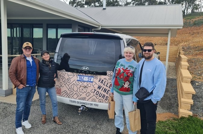
Only your group of up to four, a route shaped around the wines you like, and the scheduled tastings and lunch in one group price.
From $535 per group, up to 4
Check AvailabilityNext: match the cellar doors to a day on Clare Valley wineries, pick your season on Clare Valley weather, or compare every day out on Clare Valley Tours.